Welcome to Vicory Aerial Solutions
Victory Aerial Solutions
Let's beginFAA Part 107 Certified
MIAMI, United States
Victory Aerial Solutions
Leading-edge aerial intelligence, 3D mapping, and industrial inspections. We turn complex aerial data into actionable business solutions
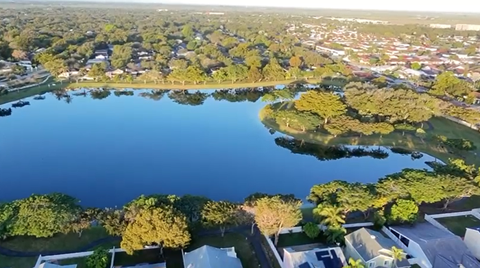
Aerial Surveying & Mapping:
You are not allowed to redistribute the template ZIP file on any other website without a permission.
Industrial Inspection:
Close-range visual and thermal inspections of wind turbines, power lines, cell towers, and bridges.
Construction Progress Monitoring:
Weekly site overlays, stockpile volumetric analysis, and BIM integration to keep projects on schedule.
Precision Agriculture:
Multi-spectral imaging to analyze crop health, irrigation issues, and nitrogen levels.
Creative Media:
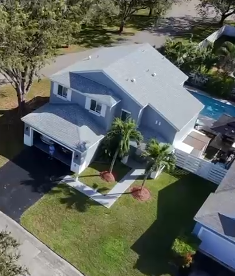
4K cinematic cinematography for high-end real estate and corporate branding.
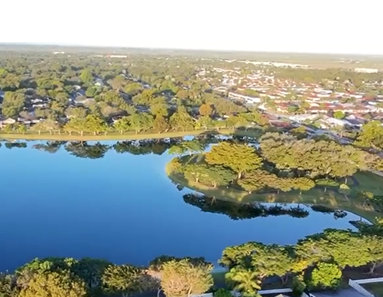
Aerial Photography
ULTRA HD cinematic photography

Our Services
Test
Test
Test
Test
1
Aerial Surveys
Date collection
Reports
Aerial Mapping and Lidar
Data gathering
Lidar
2
Utility Inspections
Power Line
Construction Sites
3
Aerial Photography
Events
Weddings
Film Production
Action Scenes
Advertisements
| Test | Test | Test | Test |
|---|---|---|---|
| 1 |
Aerial SurveysDate collection Reports |
Aerial Mapping and LidarData gathering Lidar |
|
| 2 |
Utility InspectionsPower Line Construction Sites |
||
| 3 |
Aerial PhotographyEvents Weddings |
Film ProductionAction Scenes Advertisements |